
Road-Tripping the Pacific Coast Highway: Planning the Drive from a Realistic Angle
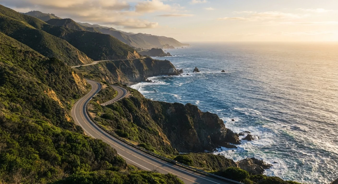
Photo credit: ExplorerGrid.com | Endless Grid Of Factual Content
In this article
The Pacific Coast Highway is iconic, but the details matter. Here's what to consider before choosing your route, timing your stops, and managing the drive.
Key Takeaways
- PCH is roughly 650 miles from San Diego to Leggett — most road trippers cover a curated segment rather than the full route.
- Driving times are consistently longer than maps suggest due to curves, scenic pullouts, and coastal traffic.
- Spring and fall offer the best balance of manageable crowds and reliable weather along most of the route.
- Cell service and gas stations are sparse in Big Sur — fuel up and download offline maps before entering.
- Landslides occasionally close segments of Highway 1; always check Caltrans road conditions before departure.
Why PCH Rewards Careful Planning
The Pacific Coast Highway has a well-earned reputation as one of the most scenic drives in the country — but it also has a reputation for humbling travelers who show up underprepared. Fog, landslides, sparse services, and the sheer volume of things worth stopping for all make this a route that benefits from thoughtful pre-trip planning more than most.
The good news: the planning process itself is straightforward once you understand the route's real-world characteristics. The steps below walk you through the decisions that matter most — from choosing your segment to managing daily drive time — so you arrive at each stop energized rather than exhausted.
What you will need
What to Do on the Road
Define Your Segment and Direction
The full Pacific Coast Highway stretches roughly 650 miles, but few trips cover every mile. Identify the segment that matches your available time and interests:
- Los Angeles to San Francisco (~400 miles via US-1/CA-1): The classic choice, covering Malibu, San Luis Obispo, Big Sur, and Carmel.
- San Francisco to Leggett (~200 miles): Less-traveled northern stretch through Bodega Bay and the rugged Mendocino Coast.
- Santa Barbara to Carmel (~250 miles): The concentrated scenic core, ideal for a long weekend.
Choose a direction — southbound puts ocean views on your side of the car, which most drivers prefer.
Choose Your Travel Window
Season significantly affects your PCH experience. Here's a realistic breakdown:
- Spring (March–May): Green hillsides, wildflowers, moderate temperatures, and smaller crowds than summer. Best overall window for most travelers.
- Summer (June–August): Peak season with heavier traffic, particularly around Los Angeles and Monterey. Coastal fog (known locally as the marine layer) is common in mornings.
- Fall (September–November): Excellent visibility, warm temperatures in the south, and noticeably lighter traffic after Labor Day.
- Winter (December–February): Whale-watching opportunities and dramatic storms, but higher landslide risk and some facilities may have reduced hours.
Map Your Overnight Stops Realistically
Using an itinerary framework that builds in breathing room is especially important on PCH, where spontaneous stops are part of the experience. A rough lodging structure for a classic LA-to-SF drive:
- Night 1: Santa Barbara or Pismo Beach
- Night 2: Big Sur area (limited options — book months ahead)
- Night 3: Carmel or Monterey
- Night 4: Half Moon Bay or San Francisco
Big Sur accommodations book out far in advance, particularly on summer weekends. If you can't secure lodging there, San Luis Obispo makes a comfortable inland base for that segment.
Prepare Your Vehicle and Navigation
Before departure, confirm your vehicle is road-ready: tire pressure, oil level, and a full tank of gas. In Big Sur, gas stations are scarce and prices are typically higher than elsewhere. Download offline navigation maps — Google Maps and Apple Maps both support this — and note that cellular signal drops out frequently between Carmel and San Simeon.
Check the Caltrans QuickMap (quickmap.dot.ca.gov) for real-time Highway 1 closures and plan an inland detour route as a backup. US-101 runs parallel to the coast for much of the route and is a reliable alternative if Highway 1 is closed.
Build a Stop List — Then Cut It by a Third
It's tempting to list every overlook, beach access point, and state park along the way. In practice, trying to hit too many stops turns the drive into a checklist sprint. Prioritize three to five anchor stops per day and leave time for unplanned discoveries. High-value stops to consider across the route include:
- Pfeiffer Beach and McWay Falls (Big Sur)
- Bixby Creek Bridge (Big Sur)
- Point Lobos State Natural Reserve (Carmel)
- Hearst Castle visitor area (San Simeon)
- Elephant seal viewpoint at Piedras Blancas
- Morro Rock (Morro Bay)
For any stops within state or national parks, review permit and timed-entry requirements well in advance — some areas have introduced reservation systems. Our guide to planning a US National Park trip covers these systems in detail.
Set a Daily Driving Ceiling and Stick to It
On PCH, plan for an average speed of 30–45 mph when factoring in curves, stops, and traffic. That means 150 miles of coastal driving can take four to six hours of actual road time. Set a hard daily mileage ceiling and communicate it to everyone in the vehicle before you leave. This prevents the frustration of rushing through the most scenic stretches to make up time.
For a thorough framework on calculating realistic daily drive distances and buffer time, see Planning a Road Trip: Distance, Timing, and Route Logic.
Southbound vs. Northbound: Which Direction Is Better?
Driving southbound (from San Francisco toward Los Angeles) puts you on the ocean-side lane, meaning unobstructed cliff and water views without craning across oncoming traffic. Many seasoned PCH drivers prefer this direction for exactly that reason. That said, northbound works perfectly well — just be ready to use pullouts for photography rather than catching views from the driver's seat.
Check Road Conditions Before You Go
Highway 1 through Big Sur is prone to landslide closures that can last weeks or even months. Always check the California Department of Transportation (Caltrans) QuickMap or official road conditions page before your trip and again the morning you plan to drive that segment. A closed stretch can add 50–100 miles of inland detour, so build contingency time into your itinerary.
Don't Underestimate Drive Times
Navigation apps often calculate PCH drive times based on free-flow speeds, which rarely reflect reality. Tight curves, mandatory 25–40 mph speed limit zones, and frequent scenic pullout stops can easily double an estimated drive time. Plan no more than 150–200 miles of coastal driving per day to avoid arriving at your accommodation after dark on winding cliffs.
After the Drive: Reflecting and Adjusting
No PCH itinerary survives contact with the road completely intact, and that's not a failure — it's the nature of driving a dynamic, weather-exposed coastal highway. The travelers who enjoy it most tend to treat the route as a framework rather than a rigid schedule.
If a road closure adds hours to your day, lean into the inland detour: the pastoral ranching valleys around Paso Robles and the towns along US-101 have their own character worth noticing. If you blow past a planned stop because the light was wrong or the parking lot was full, mark it as a reason to return rather than a loss.
Road tripping the Pacific Coast Highway versus flying to a single California destination involves genuine trade-offs in time, cost, and flexibility — a comparison worth thinking through if you're still in the decision phase. See our road trip vs. flying comparison for a clear-eyed look at both options. And for ongoing travel tips that keep trips smooth, our Travel Tips hub has practical guidance for every stage of the journey.

Author
Travel & Trips Editorial Team
Travel & Trips Editorial Team is the collective byline for our editorial team and contributor network. Articles published under this byline or an editorial pen name are researched, written, and reviewed according to our editorial standards for clarity, consistency, and independence before publication.
View all articles →